> ## Documentation Index
> Fetch the complete documentation index at: https://help.voxdash.com/llms.txt
> Use this file to discover all available pages before exploring further.
# Drilldown Map Examples
> Some data projects in VoxDash include multiple geographic maps that are hierarchically related, for example, a national map and corresponding state or…
Some data projects in VoxDash include multiple geographic maps that are hierarchically related, for example, a national map and corresponding state or provincial maps.
To help users explore this structure intuitively, VoxDash offers a drilldown map feature, allowing seamless navigation between high-level and detailed geographic views.
## How It Works
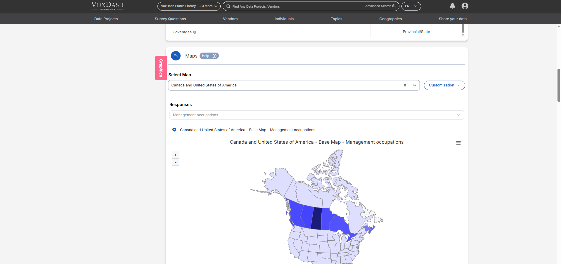
When a data project includes nested maps (e.g., Country → State), VoxDash automatically displays the highest-level (most expansive) map first.
Even if a user has not uploaded a national-level map, VoxDash will promote the largest available map as the top-level view.
Users can then explore subregions by clicking directly on a region within the map. If detailed data is available, VoxDash will automatically drill down into the more granular map.
### **Example:**
If a dataset includes both:
* A **United States map**, and
* **State-level maps** for California, Texas, and New York,
Then:
1. VoxDash will display the **U.S. map** as the entry point.
2. When a user clicks on **California**, they’ll be taken to a **state-level map of California**, where more detailed data may be shown.
3. If the user returns to the U.S. map, they can explore another region (e.g., Texas).
## **Alternate Navigation:**
Users can also access detailed maps **manually** using the **Drilldown Menu**, which appears above the map as a **Selection bar**.
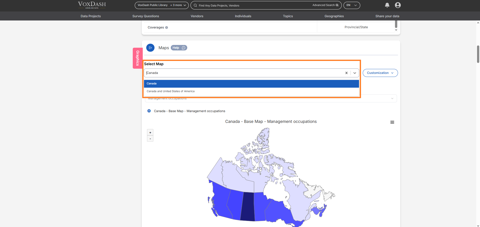 This allows users to:
* Switch between geographic levels (e.g., from *Region* to *City*),
* Compare data across areas,
* Or focus on a specific subregion without needing to click through the larger map.
This allows users to:
* Switch between geographic levels (e.g., from *Region* to *City*),
* Compare data across areas,
* Or focus on a specific subregion without needing to click through the larger map.